
Parking at the start of the Pyg Track up Snowdon now costs £25 and must be booked before you drive
 Live boardThe waterfall walks on Natural Resources Wales land, and what parking coststhe waterfall walks and their car park prices, counted site by site
The six paths Eryri lists to the summit of Yr Wyddfa, there and back, as Eryri measures them
- Llanberis Path
- 14.5km
- Watkin Path
- 13km
- Miners' Track
- 13km
- Snowdon Ranger Path
- 13km
- Rhyd Ddu Path
- 12km
- Pyg Track
- 11km
Where this sits
Pen y Pass, the trailhead for the Pyg and Miners' tracks, stays pre-book only until 1 November 2026, at £25 to £45 a car.
Eryri National Park Authority says over 600,000 people hike up Yr Wyddfa every year, one of Britain's busiest mountains.
The Pembrokeshire Coast Path had 540 stiles to cross in 1993; the National Park's own count says just 25 remain today.
In 2022 Eryri's park authority decided to use only 'Yr Wyddfa', not 'Snowdon', for Wales's highest summit.
Bannau Brycheiniog's own tourism site lists no walking route to Pen y Fan; its solitary Pen y Fan page now 404s.
Pen y Pass, the car park at the start of two of the six paths Eryri National Park Authority lists to the summit of Yr Wyddfa, runs on a pre-booking system through JustPark, and Eryri says that system stands until 1 November 2026. Eight hours costs £25 and is the stated minimum for any session, eight to twelve hours costs £35 and a full day costs £45, with no extension once a booking is made. The authority publishes no on-the-day rate at all. Over 600,000 people climb Yr Wyddfa a year on Eryri's count, which it calls Wales' busiest mountain, and it gives no summit height anywhere, only "over 3,000 feet".
The six paths, and the car parks that fill first
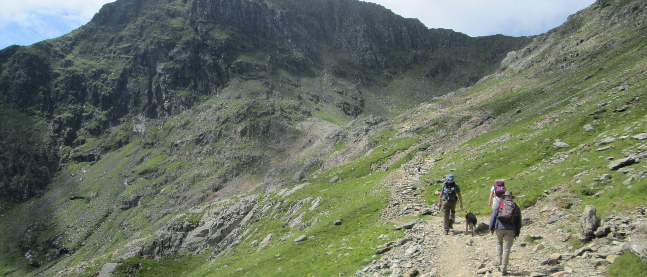
Eryri grades all six routes Hard or Strenuous and measures each one there and back in kilometres. The climbing page carries no ascent figure at all and the route guide gives one only for the Llanberis Path, "an ascent of over 3,000 feet", so no ascent column appears below. Rhyd Ddu and Snowdon Ranger are the quieter western routes and both are short of parking. Of the Pyg Track, Eryri warns that parts of the path "can lead you towards Crib Goch", which it calls "an extremely dangerous and technical mountain climb" along a 400m knife-edge ridge.
The Sherpa buses, and Ogwen when Pen y Pass is gone
Five Sherpa'r Wyddfa services carry walkers to the six paths, the S1, S2 and S5 to Pen y Pass and the S3 and S4 to the western and southern trailheads, but Eryri's page quotes no fare and no operating season and sends passengers to the operator's timetable and the myTrip app. At Ogwen, the base for Cwm Idwal and the Glyderau, Eryri charges £6 a day or £3 for four hours, card only, and allows no parking on the new A5 double yellow lines or the pavement. When Ogwen fills the authority sends drivers to Bethesda Football Club at £7 a day, and on by the T10 bus or the electric Bws Ogwen.
Pen y Fan, and the one route its park publishes
Bannau Brycheiniog National Park Authority carries 26 walks in its own route finder and not one is named after Pen y Fan. The summit appears on a single route: Beacons Way day four, Llangynidr to Storey Arms, 23.5km in seven hours, which the authority grades five out of five and calls the most strenuous day of the eight. That page is also the only place it states the height, "At 886m it is the highest peak in southern Britain", and the authority's own site search does not return it. No price appears for Pont ar Daf, and would not: the things-to-do page calls it "the National Trust car park" and tells walkers to catch a bus to Storey Arms.
What is shut, and one order that ran out last year
Three footpaths are shut in the Community of Ystradfellte, in Waterfall Country, until and including 7 October 2026: footpath 15 for about 1,850 metres from the road at Pont Melin-fach, footpath 20 for about 300 metres and footpath 68 for about 80 metres, and both notices say no alternative route exists. A fourth sits on the same page, footpath 169 at Llanfoist Fawr, closed for building works on a notice dated 30 April 2025 that limits the order to "a period not exceeding 6 months". No extension appears beside it, so on the face of the authority's own page that closure has stood for more than a year on an order that could have run out last October. On the coast, the Wales Coast Path's diversions table lists 16 problems and says it was last updated on 15 July 2026. Twelve are open ended, including the Cwm Ivy seawall on Gower, closed since 2015 after a breach in it, and three carry end dates that have already passed.
Pembrokeshire, and where the stiles went
The Pembrokeshire Coast Path runs 186 miles, or 299km, a figure the Pembrokeshire Coast National Park Authority and the National Trail body both give, and the authority reckons 10 to 15 days for the whole path. Its stile count says the most: 540 stiles stood on the path in 1993 and 25 remained in 2020. Parking is charged only from 1 March to 31 October, 9am to 7pm, and costs nothing from November to February. In season the first 30 minutes are free, 60 for Blue Badge holders, and the ladder runs £1.50 for an hour up to £8 all day, with a coach at £16, at 14 of the roughly 40 car parks the authority manages.
The long paths, and what they measure
The Wales Coast Path runs 870 miles from near Chester to Chepstow, costs nothing to walk and is, Natural Resources Wales says, never closed, because a diversion always carries an alternative route. Its eight sections run from 68 miles in Carmarthenshire to 182 miles in Pembrokeshire, and that 182 is the coast path's own slice of the Pembrokeshire Coast Path rather than a rival measurement of the National Trail, which two bodies put at 186. Offa's Dyke Path runs 177 miles from Sedbury Cliffs near Chepstow to Prestatyn, crossing the England and Wales border over 20 times on the National Trail body's count.
One walk is worth checking before you drive to it. Eryri's page for Rhaeadr Fawr, the fall many call Aber Falls, gives 4.5km, an hour, graded Easy, and says the river "plummets dramatically from a height of 120 feet". Natural Resources Wales grades the same walk Easy too, but measures it at 2.3 miles and times it at an hour and a half. Both describe the same waymarked path from the same lower car park, so one trail carries two official measurements 800 metres apart.
Comments